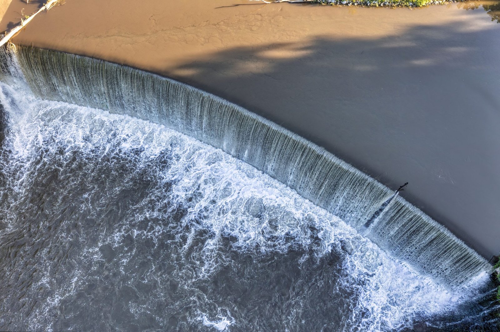
Assessing rainfall, river flow, and catchment behaviour to support dependable flood risk planning and resilient water infrastructure.
Urban Drainage Modelling
Modelling urban drainage networks to identify pressure points, improve capacity planning, and guide practical stormwater solutions.
Watershed Analysis
Assessing key factors such as catchment characteristics, surface runoff, flow patterns, and water movement to support effective planning and management.
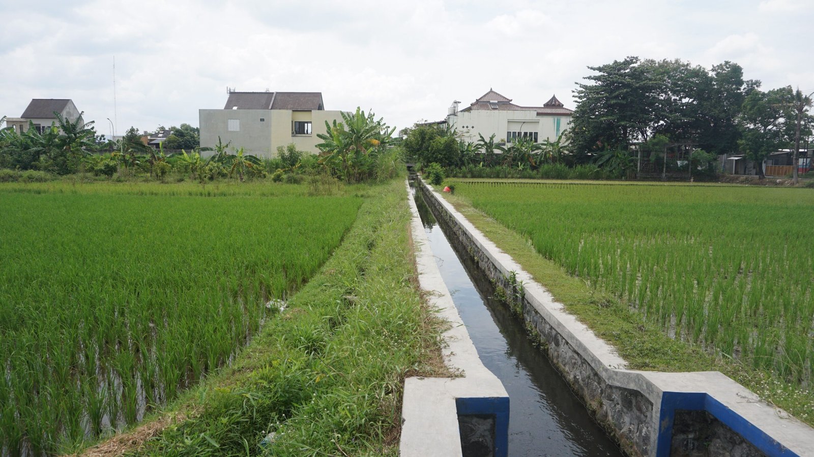
Canal System Evaluation
Combining field observations, satellite data, and hydrological modelling to strengthen watershed management and environmental decision-making.
Photo Gallery
Selected projects with hydrological data, modelling, and clear analysis to real-world water challenges.